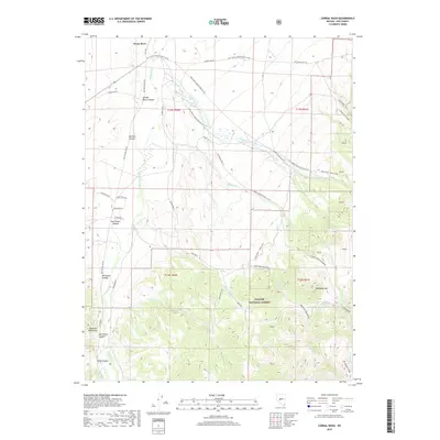
2018 Map of Corral Wash
USGS Topo · Published 2018About this map
The Reese River valley provides the central axis for this mapping of the Shoshone Mountains front in central Nevada. High elevations are dominated by the Toiyabe National Forest, where the terrain ascends sharply to Mahogany Mountain. The landscape is defined by a series of deeply incised drainages and alluvial systems, including Spanish Ranch Canyon, Mitchel Canyon, and the sprawling Corral Wash.
Find a feature on this map
57 named features on this map. Tap any name to fly to it.
Don’t see what you’re looking for? This feature index may not catch every label — zoom into the map to look around manually.
Map Details
Editions of this 2018 Corral Wash Map
This is the sole edition of this map. No revisions or reprints were ever made.
Other maps of this area

1907 · Tonopah
USGS Topo · 1:250,000

1908 · Tonopah
USGS Topo · 1:250,000

1948 · Ione
USGS Topo · 1:62,500

1950 · Ione
USGS Topo · 1:62,500

1955 · Millett
USGS Topo · 1:250,000

1956 · South Shoshone Peak
USGS Topo · 1:62,500

1956 · North Shoshone Peak
USGS Topo · 1:62,500

1956 · Tonopah
USGS Topo · 1:250,000

1959 · Tonopah
USGS Topo · 1:250,000

1959 · Millett
USGS Topo · 1:250,000