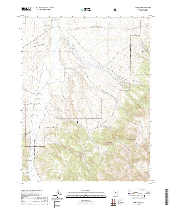
2021 Map of Corral Wash
USGS Topo · Published 2021About this map
The Shoshone Mountains and the high elevations of the Toiyabe National Forest dominate this landscape in Nye County. The area is defined by a series of steep drainages including Spanish Ranch Canyon, Ben Brown Canyon, and Old House Canyon, all feeding toward the Reese River in the west. These canyons likely served as primary corridors for early ranching and prospecting access into the higher country. Water sources are precious here, marked by isolated features like Mahogany Spring near Mahogany Mtn. A network of Forest Service routes, such as Natl Forest Develop Road 118 Rd and the Reese River - Ophir Creek route, navigate the divide between the river valley and the interior washes like Corral Wash and Sand Wash.
Find a feature on this map
51 named features on this map. Tap any name to fly to it.
Don’t see what you’re looking for? This feature index may not catch every label — zoom into the map to look around manually.
Map Details
Editions of this 2021 Corral Wash Map
This is the sole edition of this map. No revisions or reprints were ever made.
Other maps of this area

1907 · Tonopah
USGS Topo · 1:250,000

1908 · Tonopah
USGS Topo · 1:250,000

1948 · Ione
USGS Topo · 1:62,500

1950 · Ione
USGS Topo · 1:62,500

1955 · Millett
USGS Topo · 1:250,000

1956 · South Shoshone Peak
USGS Topo · 1:62,500

1956 · North Shoshone Peak
USGS Topo · 1:62,500

1956 · Tonopah
USGS Topo · 1:250,000

1959 · Tonopah
USGS Topo · 1:250,000

1959 · Millett
USGS Topo · 1:250,000