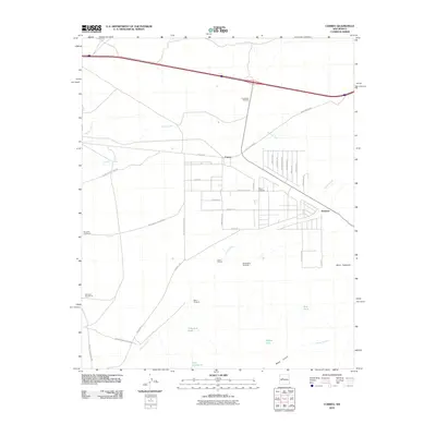
2010 Map of Correo
USGS Topo · Published 2010About this map
Old US 66 cuts across this high desert landscape, tracing a historic path through the settlements of Correo and Suwanee. The region is defined by its arid geography, where water management is critical to ranching life at places like the Lower T X Ranch. A network of named water sources and livestock infrastructure is scattered throughout the terrain, including Tranquilino Windmill, Marys Windmill, and McGaughys Windmill, alongside catchment basins such as Valentine Tank and East Tank.
Find a feature on this map
43 named features on this map. Tap any name to fly to it.
Don’t see what you’re looking for? This feature index may not catch every label — zoom into the map to look around manually.
Map Details
Editions of this 2010 Correo Map
This is the sole edition of this map. No revisions or reprints were ever made.
Other maps of this area

1883 · Mt. Taylor
USGS Topo · 1:250,000

1886 · Mt. Taylor
USGS Topo · 1:250,000

1892 · Mt. Taylor
USGS Topo · 1:250,000

1899 · Mt. Taylor
USGS Topo · 1:250,000

1917 · Cerro Verde
USGS Topo · 1:125,000

1954 · South Garcia
USGS Topo · 1:24,000

1954 · South Garcia SE
USGS Topo · 1:24,000

1954 · Canoncito School
USGS Topo · 1:24,000

1954 · Socorro
USGS Topo · 1:250,000

1956 · South Garcia
USGS Topo · 1:62,500