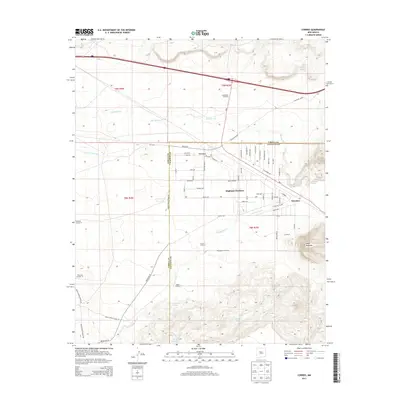
2013 Map of Correo
USGS Topo · Published 2013About this map
Highland Meadows sits at the center of this New Mexico landscape, where the modern grid of residential streets meets the historic path of Old US 66. This transition from the open range of the Lower T X Ranch to developed avenues like Highland Blvd and Archway Blvd illustrates the changing land use in the high desert. The map captures a high-desert environment defined by vital water sources such as Rio San Jose and numerous arroyos, including Arroyo Lucero and Arroyo Colorado.
Find a feature on this map
75 named features on this map. Tap any name to fly to it.
Don’t see what you’re looking for? This feature index may not catch every label — zoom into the map to look around manually.
Map Details
Editions of this 2013 Correo Map
This is the sole edition of this map. No revisions or reprints were ever made.
Other maps of this area

1883 · Mt. Taylor
USGS Topo · 1:250,000

1886 · Mt. Taylor
USGS Topo · 1:250,000

1892 · Mt. Taylor
USGS Topo · 1:250,000

1899 · Mt. Taylor
USGS Topo · 1:250,000

1917 · Cerro Verde
USGS Topo · 1:125,000

1954 · South Garcia
USGS Topo · 1:24,000

1954 · South Garcia SE
USGS Topo · 1:24,000

1954 · Canoncito School
USGS Topo · 1:24,000

1954 · Socorro
USGS Topo · 1:250,000

1956 · South Garcia
USGS Topo · 1:62,500