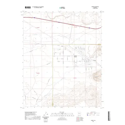
2023 Map of Correo
USGS Topo · Published 2023About this map
Highland Meadows serves as a primary residential hub in this modern survey, characterized by a structured grid of streets including Archway Blvd and Highland Blvd. The landscape transitions from these developed neighborhoods into the arid terrain of the high desert, where the winding courses of the Rio San Jose and Arroyo Colorado define the drainage patterns. Historical transportation routes remain prominent, specifically the alignment of Old Hwy 66 running parallel to the modern interstate corridor near Correo.
Find a feature on this map
68 named features on this map. Tap any name to fly to it.
Don’t see what you’re looking for? This feature index may not catch every label — zoom into the map to look around manually.
Map Details
Editions of this 2023 Correo Map
This is the sole edition of this map. No revisions or reprints were ever made.
Other maps of this area

1883 · Mt. Taylor
USGS Topo · 1:250,000

1886 · Mt. Taylor
USGS Topo · 1:250,000

1892 · Mt. Taylor
USGS Topo · 1:250,000

1899 · Mt. Taylor
USGS Topo · 1:250,000

1917 · Cerro Verde
USGS Topo · 1:125,000

1954 · South Garcia
USGS Topo · 1:24,000

1954 · South Garcia SE
USGS Topo · 1:24,000

1954 · Canoncito School
USGS Topo · 1:24,000

1954 · Socorro
USGS Topo · 1:250,000

1956 · South Garcia
USGS Topo · 1:62,500