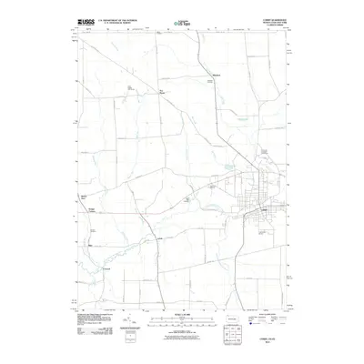
2010 Map of Corry
USGS Topo · Published 2010About this map
Corry serves as the primary urban center for this border region where Northwest Pennsylvania meets New York. The landscape is defined by the winding course of the South Branch French Creek and its many tributaries, including Slaughter Run and Spencer Creek. Rural life is anchored by small outlying communities and crossroads like Elgin, Concord, Lovell, and Wheelock, which reflect the area's agricultural and local infrastructure. Significant public works and recreational sites are present, notably the State Fish Hatchery north of town and Lawrence Airport to the south.
Find a feature on this map
61 named features on this map. Tap any name to fly to it.
Don’t see what you’re looking for? This feature index may not catch every label — zoom into the map to look around manually.
Map Details
Editions of this 2010 Corry Map
This is the sole edition of this map. No revisions or reprints were ever made.
Other maps of this area

1905 · Clymer
USGS Topo · 1:62,500

1913 · North East
USGS Topo · 1:62,500

1915 · North East
USGS Topo · 1:62,500

1929 · Corry
USGS Topo · 1:48,000

1929 · Union City
USGS Topo · 1:62,500

1932 · Corry
USGS Topo · 1:62,500

1932 · Union City
USGS Topo · 1:62,500

1939 · Clymer
USGS Topo · 1:62,500

1941 · Clymer
USGS Topo · 1:62,500

1943 · North East
USGS Topo · 1:62,500