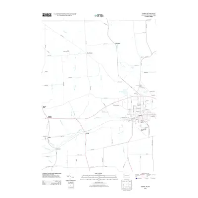
2013 Map of Corry
USGS Topo · Published 2013About this map
Corry serves as the regional hub in this 2013 survey, where a dense network of streets including Ohio St and White St meets the industrial and transport infrastructure of southeastern Erie County. The landscape is defined by the drainage of the S Br French Cr, which winds past the State Fish Hatchery and the small settlement of Lovell. This area illustrates the persistence of small crossroads communities and rural industry, with outlying hamlets like Wheelock and Five Points connected by a grid of named local routes like Carter Hill Rd.
Find a feature on this map
94 named features on this map. Tap any name to fly to it.
Don’t see what you’re looking for? This feature index may not catch every label — zoom into the map to look around manually.
Map Details
Editions of this 2013 Corry Map
This is the sole edition of this map. No revisions or reprints were ever made.
Other maps of this area

1905 · Clymer
USGS Topo · 1:62,500

1913 · North East
USGS Topo · 1:62,500

1915 · North East
USGS Topo · 1:62,500

1929 · Corry
USGS Topo · 1:48,000

1929 · Union City
USGS Topo · 1:62,500

1932 · Corry
USGS Topo · 1:62,500

1932 · Union City
USGS Topo · 1:62,500

1939 · Clymer
USGS Topo · 1:62,500

1941 · Clymer
USGS Topo · 1:62,500

1943 · North East
USGS Topo · 1:62,500