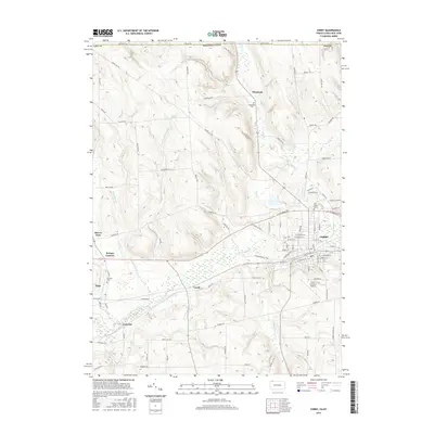
2016 Map of Corry
USGS Topo · Published 2016About this map
The city of Corry serves as the industrial and population hub of this Erie County landscape, situated where the terrain transitions toward the New York state line. The surrounding rural landscape is defined by the headwaters of the South Branch French Creek and its many tributaries, including Baskin Run and Slaughter Run, which create a complex drainage pattern through the low hills. The map highlights several small settlements and historic crossroads that have anchored the community for generations, such as Lovell, Elgin, and Wheelock. Local heritage is preserved at sites like Wheelock Cem and Pine Grove Cem, while modern infrastructure is represented by the Corry-Lawrence Airport. The northern border follows the Stateline Rd, marking the boundary between Pennsylvania and New York, while the western edge features the Beaver Dam wetland area.
Find a feature on this map
87 named features on this map. Tap any name to fly to it.
Don’t see what you’re looking for? This feature index may not catch every label — zoom into the map to look around manually.
Map Details
Editions of this 2016 Corry Map
This is the sole edition of this map. No revisions or reprints were ever made.
Other maps of this area

1905 · Clymer
USGS Topo · 1:62,500

1913 · North East
USGS Topo · 1:62,500

1915 · North East
USGS Topo · 1:62,500

1929 · Corry
USGS Topo · 1:48,000

1929 · Union City
USGS Topo · 1:62,500

1932 · Corry
USGS Topo · 1:62,500

1932 · Union City
USGS Topo · 1:62,500

1939 · Clymer
USGS Topo · 1:62,500

1941 · Clymer
USGS Topo · 1:62,500

1943 · North East
USGS Topo · 1:62,500