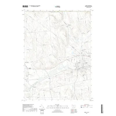
2019 Map of Corry
USGS Topo · Published 2019About this map
Corry serves as the industrial and residential hub of this Erie County landscape, where the South Branch French Creek and its many tributaries like Hare Cr and Baskin Run wind through the terrain. The map records a dense network of smaller outlying settlements, including Elgin, Concord, Lovell, and Wheelock, many of which are anchored by family-named landmarks and rural burying grounds. Genealogists will find numerous small cemeteries scattered across the countryside, such as Pine Grove Cem, McCray Cem, and Berliner Cem. The presence of the Corry-Lawrence Airport and Leisure Lake highlights the modern infrastructure and recreational elements that contrast with the traditional agricultural and forestry patterns of the region.
Find a feature on this map
97 named features on this map. Tap any name to fly to it.
Don’t see what you’re looking for? This feature index may not catch every label — zoom into the map to look around manually.
Map Details
Editions of this 2019 Corry Map
This is the sole edition of this map. No revisions or reprints were ever made.
Other maps of this area

1905 · Clymer
USGS Topo · 1:62,500

1913 · North East
USGS Topo · 1:62,500

1915 · North East
USGS Topo · 1:62,500

1929 · Corry
USGS Topo · 1:48,000

1929 · Union City
USGS Topo · 1:62,500

1932 · Corry
USGS Topo · 1:62,500

1932 · Union City
USGS Topo · 1:62,500

1939 · Clymer
USGS Topo · 1:62,500

1941 · Clymer
USGS Topo · 1:62,500

1943 · North East
USGS Topo · 1:62,500