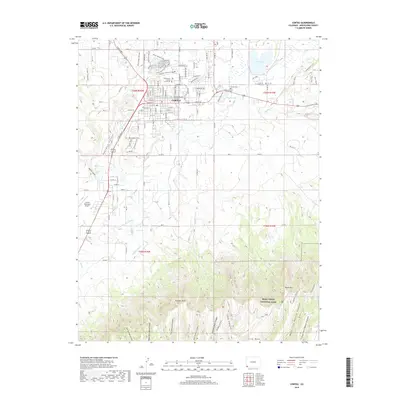
2019 Map of Cortez
USGS Topo · Published 2019About this map
Cortez serves as the focal point of this Montezuma County landscape, anchored by the Montezuma County Courthouse and the nearby Cortez Cem. The transition from the structured grid of the city to the complex topography of the south is marked by agricultural water management systems like the Rocky Ford Ditch and Highline Ditch. These irrigation features supported the local economy as the land rises toward the North Rim.
Find a feature on this map
44 named features on this map. Tap any name to fly to it.
Don’t see what you’re looking for? This feature index may not catch every label — zoom into the map to look around manually.
Map Details
Editions of this 2019 Cortez Map
This is the sole edition of this map. No revisions or reprints were ever made.
Other maps of this area

1912 · Soda Canyon
USGS Topo · 1:62,500

1915 · Soda Canyon
USGS Topo · 1:62,500

1956 · Cortez
USGS Topo · 1:250,000

1958 · Cortez SW
USGS Topo · 1:24,000

1958 · Cortez
USGS Topo · 1:250,000

1959 · Cortez
USGS Topo · 1:250,000

1962 · Cortez
USGS Topo · 1:250,000

1965 · Cortez
USGS Topo · 1:24,000

1965 · Dolores East
USGS Topo · 1:24,000

1965 · Dolores West
USGS Topo · 1:24,000