
1965 Map of Cortez
USGS Topo · Published 1967About this map
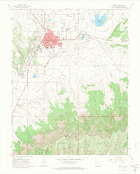
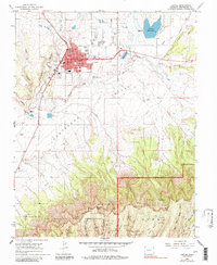
Cortez serves as the focal point of this mid-1960s survey, surrounded by the agricultural and archaeologically rich landscape of the Montezuma Valley. The map highlights a community in transition, showing essential infrastructure such as Calkins Jr High Sch, Kemper Sch, and a Drive-in Theater alongside traditional resource extraction like the Todd Mine and various Gravel Pits. To the south, the topography shifts dramatically toward the Mesa Verde National Park North Rim and the Ute Mountain Indian Reservation. The map is particularly notable for its density of archaeological markers, documenting numerous Indian Ruins and Cliff Dwellings tucked into the canyons. Water management is a defining theme, illustrated by the complex network of the Highline Ditch and Rocky Ford Ditch which sustain the valley floor near McElmo Creek.
Find a feature on this map
49 named features on this map. Tap any name to fly to it.
Don’t see what you’re looking for? This feature index may not catch every label — zoom into the map to look around manually.
Map Details
Editions of this 1965 Cortez Map
3 editions found
Other maps of this area

1912 · Soda Canyon
USGS Topo · 1:62,500

1915 · Soda Canyon
USGS Topo · 1:62,500

1956 · Cortez
USGS Topo · 1:250,000

1958 · Cortez SW
USGS Topo · 1:24,000

1958 · Cortez
USGS Topo · 1:250,000

1959 · Cortez
USGS Topo · 1:250,000

1962 · Cortez
USGS Topo · 1:250,000

1965 · Dolores East
USGS Topo · 1:24,000

1965 · Dolores West
USGS Topo · 1:24,000
1965 · Arriola
USGS Topo · 1:24,000