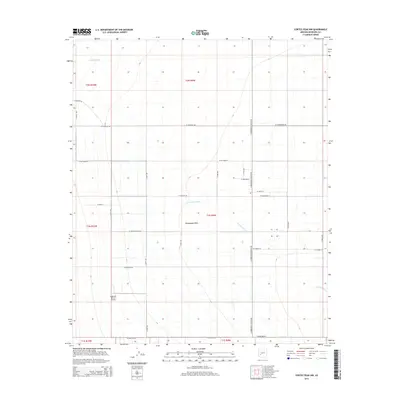
2014 Map of Cortez Peak NW
USGS Topo · Published 2014About this map
Harquahala Plain dominates this landscape in western Maricopa County, characterized by its wide, flat expanses and the seasonal drainage of Centennial Wash. The area is organized by a precise grid of roads that define the agricultural and residential potential of the desert valley, including W Courthouse Rd and the long north-south corridor of S Harquahala Valley Rd. The Eagletail Ranch Airport provides a focal point for local aviation near the western edge of the plain. Water management in this arid environment is evidenced by features like Allison Tank, while the naming of thoroughfares such as W Centenial Rd and W Baseline Rd reflects the systematic surveying of the Arizona territory. This 2014 survey documents the modern layout of rural infrastructure before further desert development or changes in land use.
Find a feature on this map
32 named features on this map. Tap any name to fly to it.
Don’t see what you’re looking for? This feature index may not catch every label — zoom into the map to look around manually.
Map Details
Editions of this 2014 Cortez Peak NW Map
This is the sole edition of this map. No revisions or reprints were ever made.
Other maps of this area

1942 · Vicksburg
USGS Topo · 1:250,000

1954 · Phoenix
USGS Topo · 1:250,000

1957 · Phoenix
USGS Topo · 1:250,000

1958 · Phoenix
USGS Topo · 1:250,000

1960 · Phoenix
USGS Topo · 1:250,000

1961 · Lone Mountain
USGS Topo · 1:62,500

1961 · Big Horn Mts
USGS Topo · 1:62,500

1962 · Cortez Peak
USGS Topo · 1:62,500

1962 · Eagletail Mts
USGS Topo · 1:62,500

1969 · Phoenix
USGS Topo · 1:250,000