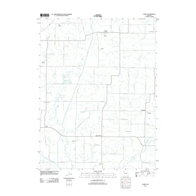
2012 Map of Cosby
USGS Topo · Published 2012About this map
The Platte River meanders through this agricultural landscape east of Saint Joseph, defining a fertile corridor between the small communities of Cosby, San Antonio, and Hurlingen. The layout of the land reflects a dense network of rural infrastructure, with numerous family and community burial grounds such as High Prairie Cemetery, Bethel Cemetery, and Ozenberger Cemetery distributed across the upland rises. These sites, along with others like Concord Cemetery and Saint Marys Cemetery, provide significant anchor points for genealogical research in this part of Missouri.
Find a feature on this map
63 named features on this map. Tap any name to fly to it.
Don’t see what you’re looking for? This feature index may not catch every label — zoom into the map to look around manually.
Map Details
Editions of this 2012 Cosby Map
This is the sole edition of this map. No revisions or reprints were ever made.
Other maps of this area

1923 · Clarksdale
USGS Topo · 1:62,500

1924 · St. Joseph
USGS Topo · 1:62,500

1925 · Gower
USGS Topo · 1:62,500

1925 · Clarksdale
USGS Topo · 1:62,500

1926 · Saint Joseph
USGS Topo · 1:62,500

1927 · Dearborn
USGS Topo · 1:62,500

1950 · Kansas City
USGS Topo · 1:250,000

1954 · Kansas City
USGS Topo · 1:250,000

1956 · Kansas City
USGS Topo · 1:250,000

1960 · Kansas City
USGS Topo · 1:250,000