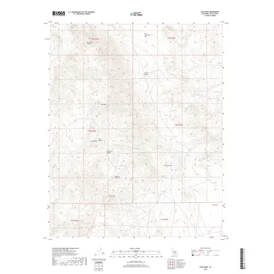
2018 Map of Coso Peak
USGS Topo · Published 2018About this map
Coso Peak anchors this high-elevation landscape within the Coso Range, a territory defined by its complex network of seasonal washes and isolated springs. The map reveals a reliance on water sources in this arid environment, with numerous named points such as Indian Gardens Spring, Crystal Spring, and Lost Cabin Spring serving as vital landmarks. The terrain transitions from the deep cuts of Black Rock Canyon and Mill Canyon to the relatively level expanse of Lower Centennial Flat and Coles Flat to the east. This detailed survey captures the intersection of the Mojave Desert with the southern reaches of Inyo County, showing a geography marked by dramatic drainage patterns like China Gardens Wash and Domingo Wash. The presence of features such as Silver Peak and Dead End Canyon illustrates the navigational challenges of this remote high-desert area.
Find a feature on this map
35 named features on this map. Tap any name to fly to it.
Don’t see what you’re looking for? This feature index may not catch every label — zoom into the map to look around manually.
Map Details
Editions of this 2018 Coso Peak Map
This is the sole edition of this map. No revisions or reprints were ever made.
Other maps of this area

1908 · Ballarat
USGS Topo · 1:250,000

1913 · Ballarat
USGS Topo · 1:250,000

1948 · Death Valley
USGS Topo · 1:250,000

1950 · Darwin
USGS Topo · 1:62,500

1951 · Darwin
USGS Topo · 1:62,500

1951 · Keeler
USGS Topo · 1:62,500

1951 · Haiwee Reservoir
USGS Topo · 1:62,500

1951 · Coso Peak
USGS Topo · 1:62,500

1954 · Death Valley
USGS Topo · 1:250,000

1956 · Death Valley
USGS Topo · 1:250,000