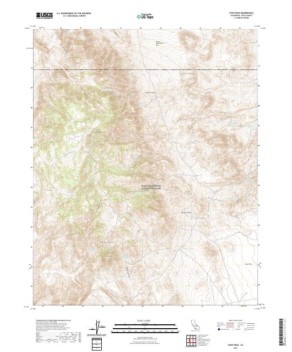
2021 Map of Coso Peak
USGS Topo · Published 2021About this map
Coso Peak anchors this high-altitude survey of the Coso Range, a region defined by its vital water sources and dramatic desert topography. In a landscape where survival depended on localized hydrology, numerous named water features such as Crystal Spring, Tub Spring, and the distinctive Indian Gardens Spring suggest a history of seasonal use and exploration. The transition from the rugged mountain slopes to the edges of the Mojave Desert is marked by expansive level areas like Lower Centennial Flat and Coles Flat. To the south, Silver Peak stands near the head of Dead End Canyon, illustrating the challenging nature of the terrain. The presence of features like Lost Cabin Spring and Coso Springs points to the early mining and ranching interests that once navigated these canyons and washes, including the winding China Gardens Wash.
Find a feature on this map
34 named features on this map. Tap any name to fly to it.
Don’t see what you’re looking for? This feature index may not catch every label — zoom into the map to look around manually.
Map Details
Editions of this 2021 Coso Peak Map
This is the sole edition of this map. No revisions or reprints were ever made.
Other maps of this area

1908 · Ballarat
USGS Topo · 1:250,000

1913 · Ballarat
USGS Topo · 1:250,000

1948 · Death Valley
USGS Topo · 1:250,000

1950 · Darwin
USGS Topo · 1:62,500

1951 · Darwin
USGS Topo · 1:62,500

1951 · Keeler
USGS Topo · 1:62,500

1951 · Haiwee Reservoir
USGS Topo · 1:62,500

1951 · Coso Peak
USGS Topo · 1:62,500

1954 · Death Valley
USGS Topo · 1:250,000

1956 · Death Valley
USGS Topo · 1:250,000