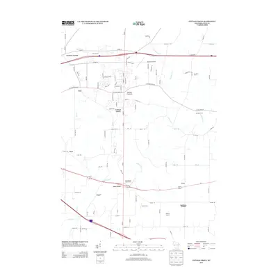
2013 Map of Cottage Grove
USGS Topo · Published 2013About this map
Cottage Grove and its surrounding agricultural landscape appear here as a mixture of traditional dairy farming and modern rural development in eastern Dane County. The map identifies legacy agricultural sites such as Kurt Dairy Farms and Meinpferde Farm, alongside aviation-focused landmarks like Blackhawk Airfield and Quale Airport. Small historical settlements and crossroads including Seminary Springs, Taylors Corners, and Hoffman Corners are clearly marked, providing essential context for local historians and genealogists. The terrain is defined by the winding course of Door Cr and Koshkonong Cr, with Liberty Mound standing as a notable geographic feature. Several local orchards, including Door Creek Orchard, point to the region's diverse agricultural output during this era of transitioning land use between the growing Madison suburbs and established rural communities.
Find a feature on this map
94 named features on this map. Tap any name to fly to it.
Don’t see what you’re looking for? This feature index may not catch every label — zoom into the map to look around manually.
Map Details
Editions of this 2013 Cottage Grove Map
This is the sole edition of this map. No revisions or reprints were ever made.
Other maps of this area

1889 · Evansville
USGS Topo · 1:62,500

1890 · Madison
USGS Topo · 1:62,500

1890 · Sun Prairie
USGS Topo · 1:62,500

1890 · Stoughton
USGS Topo · 1:62,500

1892 · Madison
USGS Topo · 1:62,500

1894 · Evansville
USGS Topo · 1:62,500

1896 · Sun Prairie
USGS Topo · 1:62,500

1904 · Madison
USGS Topo · 1:62,500

1905 · Sun Prairie
USGS Topo · 1:62,500

1906 · Evansville
USGS Topo · 1:62,500