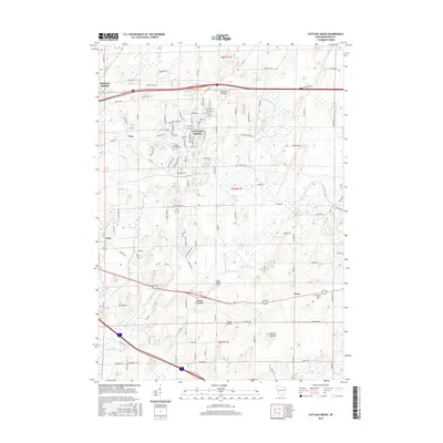
2016 Map of Cottage Grove
USGS Topo · Published 2016About this map
Cottage Grove anchors this portion of eastern Dane County, showing the community's footprint alongside the wetlands of the Koshkonong Cr and Door Cr basins. The map captures a mix of residential expansion and preserved rural character, with smaller settlements like Vilas, Hope, and Nora dotting the landscape. Local aviation is represented by Blackhawk Airfield in the north and the smaller Quale Airport near the southern boundary, reflecting the region's diverse infrastructure.
Find a feature on this map
122 named features on this map. Tap any name to fly to it.
Don’t see what you’re looking for? This feature index may not catch every label — zoom into the map to look around manually.
Map Details
Editions of this 2016 Cottage Grove Map
This is the sole edition of this map. No revisions or reprints were ever made.
Other maps of this area
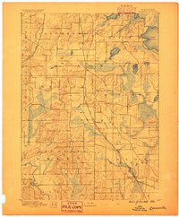
1889 · Evansville
USGS Topo · 1:62,500
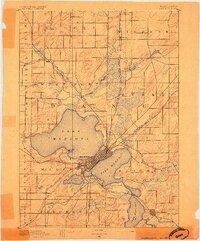
1890 · Madison
USGS Topo · 1:62,500
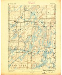
1890 · Sun Prairie
USGS Topo · 1:62,500
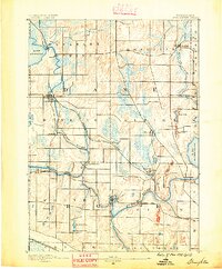
1890 · Stoughton
USGS Topo · 1:62,500
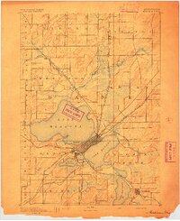
1892 · Madison
USGS Topo · 1:62,500
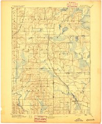
1894 · Evansville
USGS Topo · 1:62,500
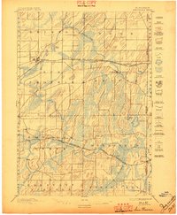
1896 · Sun Prairie
USGS Topo · 1:62,500
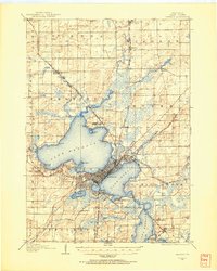
1904 · Madison
USGS Topo · 1:62,500
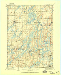
1905 · Sun Prairie
USGS Topo · 1:62,500
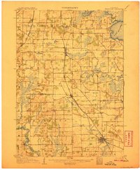
1906 · Evansville
USGS Topo · 1:62,500