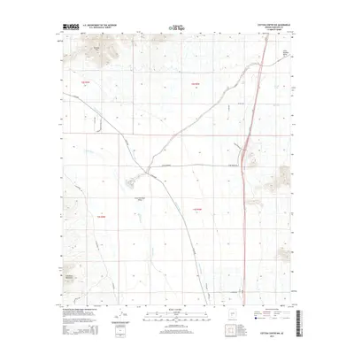
2014 Map of Cotton Center NW
USGS Topo · Published 2014About this map
Buckeye Hills dominate the northern landscape of this region, overlooking the complex water management system essential to Maricopa County's arid valley. The Gila River and the Gila Bend Canal serve as the primary lifelines through the desert, illustrating the infrastructure required for local agriculture and settlement. The map reveals a transition from the rugged slopes of the Gila Bend Mountains in the southwest to the broad expanse of the Little Rainbow Valley. Human passage is marked by the path of Old US-80, which intersects with modern corridors like Az-85. Scattered water features such as Hog Hole and Web Water provide unique geographic markers in an otherwise spare landscape, highlighting the critical importance of every named water source in the desert floor's development.
Find a feature on this map
28 named features on this map. Tap any name to fly to it.
Don’t see what you’re looking for? This feature index may not catch every label — zoom into the map to look around manually.
Map Details
Editions of this 2014 Cotton Center NW Map
This is the sole edition of this map. No revisions or reprints were ever made.
Other maps of this area

1951 · Cotton Center
USGS Topo · 1:62,500

1951 · Woolsey Peak
USGS Topo · 1:62,500

1954 · Phoenix
USGS Topo · 1:250,000

1957 · Phoenix
USGS Topo · 1:250,000

1958 · Phoenix
USGS Topo · 1:250,000

1958 · Hassayampa
USGS Topo · 1:24,000

1958 · Buckeye
USGS Topo · 1:24,000

1958 · Buckeye
USGS Topo · 1:62,500

1960 · Phoenix
USGS Topo · 1:250,000

1962 · Arlington
USGS Topo · 1:62,500