
1958 Map of Hassayampa
USGS Topo · Published 1959About this map
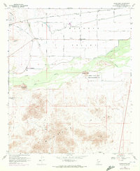
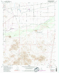
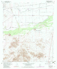
The Hassayampa River and Gila River converge in this agricultural and desert landscape of the late 1950s. The map illustrates a complex network of water management essential to the Buckeye Valley, featuring the Buckeye Canal, Arlington Canal, and significant earthen works like the Buckeye Levee. Small rural settlements such as Hassayampa and Palo Verde serve as anchors for the surrounding farmland, while the southern portion of the sheet transitions into the more arid Buckeye Hills. Industrial and military footprints are visible through the Good Earth Mine and the sprawling Luke Auxiliary Field No 2. The presence of the Robbins Butte State Game Management Unit highlights early conservation efforts along the river bottom, contrasting with the nearby Southern Pacific rail corridor that drove regional commerce.
Find a feature on this map
27 named features on this map. Tap any name to fly to it.
Don’t see what you’re looking for? This feature index may not catch every label — zoom into the map to look around manually.
Map Details
Editions of this 1958 Hassayampa Map
4 editions found
Other maps of this area

1951 · Cotton Center
USGS Topo · 1:62,500

1951 · Woolsey Peak
USGS Topo · 1:62,500

1954 · Phoenix
USGS Topo · 1:250,000

1957 · Phoenix
USGS Topo · 1:250,000

1957 · Valencia
USGS Topo · 1:24,000

1958 · Phoenix
USGS Topo · 1:250,000

1958 · Buckeye NW
USGS Topo · 1:24,000

1958 · Buckeye
USGS Topo · 1:24,000

1958 · Buckeye
USGS Topo · 1:62,500

1960 · Phoenix
USGS Topo · 1:250,000