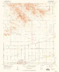
1958 Map of Buckeye NW
USGS Topo · Published 1959About this map
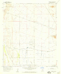
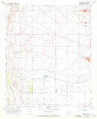
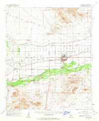
The Luke Auxiliary Field No 5 dominates the central portion of this landscape, reflecting Arizona's mid-century military and aviation infrastructure. Situated in the Buckeye Valley, the terrain transitions from the alluvial bottomlands of the Hassayampa River to the lower slopes of the White Tank Mountains. The map reveals an engineered agricultural system, where the Roosevelt Canal and a supporting Levee protect and irrigate the grid-patterned fields south of Broadway Road. Economic activity is further evidenced by the Southern Pacific railroad line and extractive sites like the Blackhawk Mines and various Gravel Pit locations. Local transportation follows a strict section-line grid, with Southern Avenue and Bruner Road connecting the scattered wells and landing strips that serve this developing desert corridor.
Find a feature on this map
21 named features on this map. Tap any name to fly to it.
Don’t see what you’re looking for? This feature index may not catch every label — zoom into the map to look around manually.
Map Details
Editions of this 1958 Buckeye NW Map
3 editions found
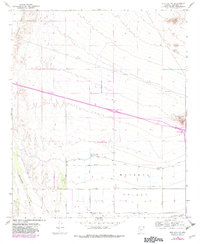
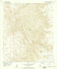
Other maps of this area

1954 · Phoenix
USGS Topo · 1:250,000

1957 · Phoenix
USGS Topo · 1:250,000
1957 · White Tank Mts. SE
USGS Topo · 1:24,000
1957 · Valencia
USGS Topo · 1:24,000
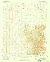
1957 · White Tank Mts.
USGS Topo · 1:62,500

1958 · Phoenix
USGS Topo · 1:250,000
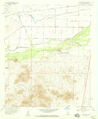
1958 · Hassayampa
USGS Topo · 1:24,000
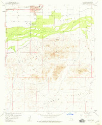
1958 · Buckeye
USGS Topo · 1:24,000
1958 · Buckeye
USGS Topo · 1:62,500

1960 · Phoenix
USGS Topo · 1:250,000
Featured Places
- Buckeye, AZ
- Maricopa County, AZ
- United States
- Montana Vista, Maricopa County
- Hassayampa Ranches, Maricopa County