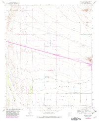
1958 Map of Buckeye NW
USGS Topo · Published 1983About this map
The Hassayampa River defines the western edge of this desert landscape, where the arid terrain meets the agricultural expansion of the Buckeye Valley. By the late 1950s, water management was central to the region's development, evidenced by the Roosevelt Canal and numerous irrigation wells that supported the emerging grid of rural roads like Broadway Road and Southern Avenue. The southern portion of the map shows a clear transition into an organized farming district, while the northern reaches remain characterized by open desert and industrial activity.
Find a feature on this map
19 named features on this map. Tap any name to fly to it.
Don’t see what you’re looking for? This feature index may not catch every label — zoom into the map to look around manually.
Map Details
Editions of this 1958 Buckeye NW Map
3 editions found
Other maps of this area

1954 · Phoenix
USGS Topo · 1:250,000

1957 · Phoenix
USGS Topo · 1:250,000

1957 · White Tank Mts. SE
USGS Topo · 1:24,000

1957 · Valencia
USGS Topo · 1:24,000

1957 · White Tank Mts.
USGS Topo · 1:62,500

1958 · Phoenix
USGS Topo · 1:250,000

1958 · Buckeye NW
USGS Topo · 1:24,000

1958 · Hassayampa
USGS Topo · 1:24,000

1958 · Buckeye
USGS Topo · 1:24,000

1958 · Buckeye
USGS Topo · 1:62,500