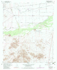
1958 Map of Hassayampa
USGS Topo · Published 1983About this map
The Gila River and Hassayampa River converge in this arid landscape, defining a region where intensive irrigation engineering meets the desert floor. The Buckeye Valley is crisscrossed by an intricate water system, including the Buckeye Canal, Southern Pacific Canal, and various protective levees like the Arlington Levee. This infrastructure supported small agricultural outposts and settlements such as Dixie, Palo Verde, and Hassayampa. The northern portion of the map is dominated by the Southern Pacific railroad and the Luke Auxiliary Field No 4, reflecting the mid-century intersection of transportation and military presence. To the south, the terrain rises sharply into the Buckeye Hills, where the Good Earth Mine and various shafts indicate a history of mineral exploration. Conservation efforts are anchored by the Robbins Butte State Game Management Unit along the river bottomlands.
Find a feature on this map
36 named features on this map. Tap any name to fly to it.
Don’t see what you’re looking for? This feature index may not catch every label — zoom into the map to look around manually.
Map Details
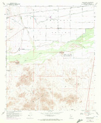
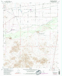
Editions of this 1958 Hassayampa Map
4 editions found
Other maps of this area

1951 · Cotton Center
USGS Topo · 1:62,500

1951 · Woolsey Peak
USGS Topo · 1:62,500

1954 · Phoenix
USGS Topo · 1:250,000

1957 · Phoenix
USGS Topo · 1:250,000

1957 · Valencia
USGS Topo · 1:24,000

1958 · Phoenix
USGS Topo · 1:250,000

1958 · Buckeye NW
USGS Topo · 1:24,000

1958 · Hassayampa
USGS Topo · 1:24,000

1958 · Buckeye
USGS Topo · 1:24,000

1958 · Buckeye
USGS Topo · 1:62,500