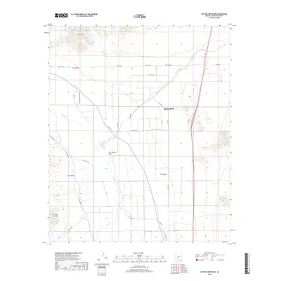
2018 Map of Cotton Center NW
USGS Topo · Published 2018About this map
The Little Rainbow Valley dominates this landscape south of Buckeye, where the desert terrain meets the irrigated agricultural corridors of Maricopa County. The Gila River winds through the central portion of the map, flanked by vital water management features like the Gila Bend Canal and smaller water bodies such as Web Water and Hog Hole. This environment is shaped by both the natural rises of the Buckeye Hills to the north and the Gila Bend Mountains in the southwest corner.
Find a feature on this map
33 named features on this map. Tap any name to fly to it.
Don’t see what you’re looking for? This feature index may not catch every label — zoom into the map to look around manually.
Map Details
Editions of this 2018 Cotton Center NW Map
This is the sole edition of this map. No revisions or reprints were ever made.
Other maps of this area

1951 · Cotton Center
USGS Topo · 1:62,500

1951 · Woolsey Peak
USGS Topo · 1:62,500

1954 · Phoenix
USGS Topo · 1:250,000

1957 · Phoenix
USGS Topo · 1:250,000

1958 · Phoenix
USGS Topo · 1:250,000

1958 · Hassayampa
USGS Topo · 1:24,000

1958 · Buckeye
USGS Topo · 1:24,000

1958 · Buckeye
USGS Topo · 1:62,500

1960 · Phoenix
USGS Topo · 1:250,000

1962 · Arlington
USGS Topo · 1:62,500