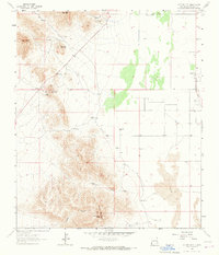
1964 Map of Cotton City
USGS Topo · Published 1967About this map
Cotton City stands as the primary settlement in this corner of Hidalgo County, situated on the edge of a landscape defined by industrial extraction and high-desert ranching. The northern reaches are punctuated by mineral workings such as the Crystal Mine, Blue Hill Mine, and Ward Mine, concentrated near Granite Peak and Preacher Mountain. To the south, the topography shifts into the prominent heights of Eagle Nest Peak and 1117 Mountain, where the land is carved by Weatherby Canyon and Hackett Canyon.
Find a feature on this map
32 named features on this map. Tap any name to fly to it.
Don’t see what you’re looking for? This feature index may not catch every label — zoom into the map to look around manually.
Map Details
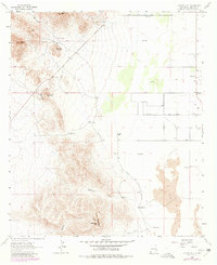
Editions of this 1964 Cotton City Map
2 editions found
Other maps of this area

1917 · San Simon
USGS Topo · 1:125,000

1917 · Chiricahua
USGS Topo · 1:125,000

1918 · Pratt
USGS Topo · 1:62,500

1919 · Pratt
USGS Topo · 1:62,500

1919 · Chiricahua
USGS Topo · 1:125,000

1926 · Rodeo
USGS Topo · 1:62,500

1928 · Chenoweth
USGS Topo · 1:62,500

1950 · Vanar
USGS Topo · 1:62,500

1951 · Vanar
USGS Topo · 1:62,500

1954 · Silver City
USGS Topo · 1:250,000