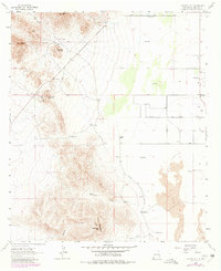
1964 Map of Cotton City
USGS Topo · Published 1980About this map
Granite Gap Mountain and the surrounding high desert peaks dominate this Hidalgo County landscape as it appeared in the mid-1960s. Mining activity is prominent throughout the rocky terrain, with the Crystal Mine, Ward Mine, and Vesley Mine located near the natural pass of Granite Gap. These industrial sites are juxtaposed with the agricultural infrastructure of the Animas Valley, where scattered cattle operations like the McCarty Ranch and Weatherby Ranch depend on remote water sources such as the Richardson Windmill.
Find a feature on this map
31 named features on this map. Tap any name to fly to it.
Don’t see what you’re looking for? This feature index may not catch every label — zoom into the map to look around manually.
Map Details
Editions of this 1964 Cotton City Map
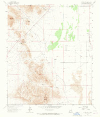
2 editions found
Other maps of this area

1917 · San Simon
USGS Topo · 1:125,000

1917 · Chiricahua
USGS Topo · 1:125,000

1918 · Pratt
USGS Topo · 1:62,500

1919 · Pratt
USGS Topo · 1:62,500

1919 · Chiricahua
USGS Topo · 1:125,000

1926 · Rodeo
USGS Topo · 1:62,500

1928 · Chenoweth
USGS Topo · 1:62,500

1950 · Vanar
USGS Topo · 1:62,500

1951 · Vanar
USGS Topo · 1:62,500

1954 · Silver City
USGS Topo · 1:250,000