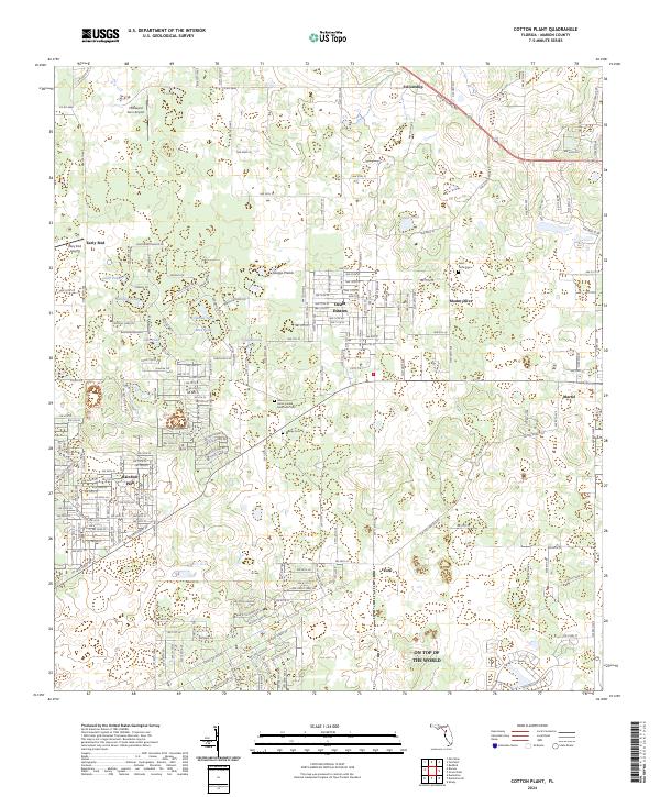
2024 Map of Cotton Plant
USGS Topo · Published 2024About this map
Sturgis Prairie and a network of small water bodies like Coleman Pond and Sanders Pond define this portion of Marion County, where residential growth intersects with traditional rural landmarks. The landscape is dotted with established communities such as Ocala Estates and Rainbow Park, alongside the notable development of On Top of the World. Local history is anchored by several burial grounds, including the Saint Johns United Methodist Cem and Saint Pauls Cem, which serve as vital touchstones for genealogists.
Find a feature on this map
36 named features on this map. Tap any name to fly to it.
Don’t see what you’re looking for? This feature index may not catch every label — zoom into the map to look around manually.
Map Details
Editions of this 2024 Cotton Plant Map
This is the sole edition of this map. No revisions or reprints were ever made.
Other maps of this area

1892 · Dunnellon
USGS Topo · 1:62,500

1893 · Citra
USGS Topo · 1:62,500

1894 · Dunnellon
USGS Topo · 1:62,500

1895 · Williston
USGS Topo · 1:62,500

1895 · Citra
USGS Topo · 1:62,500

1895 · Ocala
USGS Topo · 1:62,500

1954 · Romeo
USGS Topo · 1:24,000

1954 · Dunnellon
USGS Topo · 1:24,000

1954 · Cotton Plant
USGS Topo · 1:24,000

1954 · Dunnellon SE
USGS Topo · 1:24,000