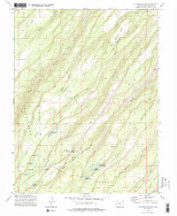
1973 Map of Cottonwood Basin
USGS Topo · Published 1976About this map
The Uncompahgre National Forest dominates this high-altitude landscape of the Uncompahgre Plateau, where a complex network of seasonal water management is evident. Numerous small-scale water storage features, such as the Harry White Reservoirs, Big Monitor Reservoir No 1, and Lone Pine Res, illustrate the critical importance of water control for ranching or forestry operations in the arid Colorado uplands. The terrain is defined by dramatic geographic features including Dry Mesa and Sawmill Mesa, which are incised by deep drainages like Escalante Creek and Mud Springs Gulch. High-country mobility in the early 1970s relied on the Tatum Draw Jeep Trail and various pack trails, connecting remote sites like Fall Cabin Camp to the wider region. This survey captures a moment when the plateau remained largely wilderness, dedicated to resource management and seasonal use.
Find a feature on this map
34 named features on this map. Tap any name to fly to it.
Don’t see what you’re looking for? This feature index may not catch every label — zoom into the map to look around manually.
Map Details
Editions of this 1973 Cottonwood Basin Map
2 editions found
Other maps of this area

1956 · Moab
USGS Topo · 1:250,000

1959 · Moab
USGS Topo · 1:250,000

1960 · Moab
USGS Topo · 1:250,000

1962 · Moab
USGS Topo · 1:250,000

1964 · Moab
USGS Topo · 1:250,000

1965 · Moab
USGS Topo · 1:250,000
1969 · Roubideau
USGS Topo · 1:24,000
1969 · Good Point
USGS Topo · 1:24,000
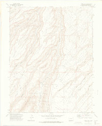
1973 · Camel Back
USGS Topo · 1:24,000
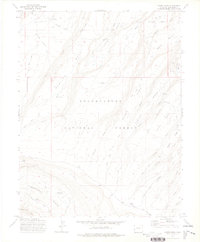
1973 · Moore Mesa
USGS Topo · 1:24,000