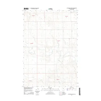
2015 Map of Cottonwood Creek NE
USGS Topo · Published 2015About this map
The Grand River meanders across the central portion of this landscape in northern Corson County, shaping a wide alluvial valley defined by its characteristic bends and oxbows. This 2015 survey illustrates a sparsely populated region of South Dakota where the terrain is predominantly governed by the drainage patterns of the Cottonwood Cr system. To the north, Dirt Lodge Cr enters the frame, cutting through the high plains toward the river basin.
Find a feature on this map
15 named features on this map. Tap any name to fly to it.
Don’t see what you’re looking for? This feature index may not catch every label — zoom into the map to look around manually.
Map Details
Editions of this 2015 Cottonwood Creek NE Map
This is the sole edition of this map. No revisions or reprints were ever made.
Other maps of this area

1953 · McIntosh
USGS Topo · 1:250,000

1956 · Black Horse SW
USGS Topo · 1:24,000

1956 · Cottonwood Creek NE
USGS Topo · 1:24,000

1956 · Black Horse
USGS Topo · 1:24,000

1956 · Cottonwood Creek SE
USGS Topo · 1:24,000

1956 · Cottonwood Creek NW
USGS Topo · 1:24,000

1956 · Cottonwood Creek SW
USGS Topo · 1:24,000

1958 · McIntosh
USGS Topo · 1:250,000

1972 · McIntosh SW
USGS Topo · 1:24,000

1972 · Morristown SE
USGS Topo · 1:24,000