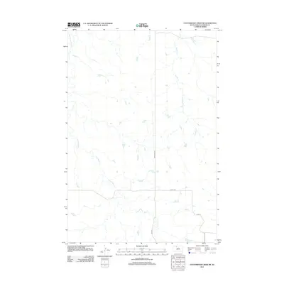
2012 Map of Cottonwood Creek SW
USGS Topo · Published 2012About this map
Archambault Cr and Meadow Cr snake through this portion of the Rock Creek District, defining a landscape of drainages and rolling prairie as it appeared in the early 21st century. The map centers on the rural junction at Gopher Cor, where local transport routes like Morristown Rd and Co Rd 315 provide the primary infrastructure for this sparsely populated region of Corson County. In the northwestern corner, Black Horse Butte Cr marks the terrain, illustrating the hydrologic patterns of the northern plains. The lack of dense settlement on this sheet emphasizes the agricultural and open character of the South Dakota landscape, providing a precise record of the road network and water courses used by local residents and land managers.
Find a feature on this map
6 named features on this map. Tap any name to fly to it.
Don’t see what you’re looking for? This feature index may not catch every label — zoom into the map to look around manually.
Map Details
Editions of this 2012 Cottonwood Creek SW Map
This is the sole edition of this map. No revisions or reprints were ever made.
Other maps of this area

1953 · McIntosh
USGS Topo · 1:250,000

1956 · Cottonwood Creek NE
USGS Topo · 1:24,000

1956 · Cottonwood Creek SE
USGS Topo · 1:24,000

1956 · Cottonwood Creek NW
USGS Topo · 1:24,000

1956 · Cottonwood Creek SW
USGS Topo · 1:24,000

1958 · McIntosh
USGS Topo · 1:250,000

1972 · Twin Butte
USGS Topo · 1:24,000

1972 · Black Horse Butte NE
USGS Topo · 1:24,000

1980 · McIntosh
USGS Topo · 1:100,000

1982 · Glad Valley
USGS Topo · 1:24,000