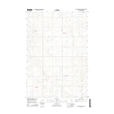
2015 Map of Cottonwood Creek SW
USGS Topo · Published 2015About this map
Archambault Cr and Meadow Cr wind through this high-plains landscape in Corson County, shaping a drainage pattern that defines the local topography. This 2015 survey by the U.S. Geological Survey illustrates the sparse, grid-based infrastructure of the Rock Creek District, where section lines are marked by isolated routes like 222nd Ave and 126th St. The western edge of the quadrangle is traced by the upper reaches of Black Horse Butte Cr, reflecting a terrain largely dedicated to open range and traditional land divisions under the Public Land Survey System. Local transit is concentrated on county roads such as CR-25, which provides the primary East-West connection across the northern sections. For those studying the spatial organization of the Standing Rock Reservation area, the map provides a clear record of the intersection between natural drainage and modern rural planning.
Find a feature on this map
12 named features on this map. Tap any name to fly to it.
Don’t see what you’re looking for? This feature index may not catch every label — zoom into the map to look around manually.
Map Details
Editions of this 2015 Cottonwood Creek SW Map
This is the sole edition of this map. No revisions or reprints were ever made.
Other maps of this area

1953 · McIntosh
USGS Topo · 1:250,000

1956 · Cottonwood Creek NE
USGS Topo · 1:24,000

1956 · Cottonwood Creek SE
USGS Topo · 1:24,000

1956 · Cottonwood Creek NW
USGS Topo · 1:24,000

1956 · Cottonwood Creek SW
USGS Topo · 1:24,000

1958 · McIntosh
USGS Topo · 1:250,000

1972 · Twin Butte
USGS Topo · 1:24,000

1972 · Black Horse Butte NE
USGS Topo · 1:24,000

1980 · McIntosh
USGS Topo · 1:100,000

1982 · Glad Valley
USGS Topo · 1:24,000