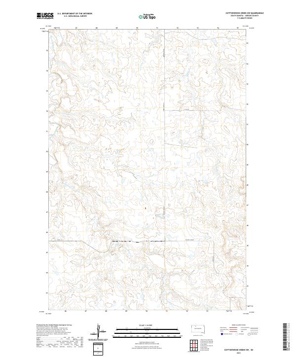
2021 Map of Cottonwood Creek SW
USGS Topo · Published 2021About this map
Black Horse Butte Cr and Archambault Cr wind through this corner of Corson County, tracing a landscape defined by intermittent watercourses and the Public Land Survey System. The map highlights the intersection of rural infrastructure and natural drainage, with Morristown Rd serving as a primary north-south corridor through the townships of t19n r20e and t18n r20e. A notable local landmark, Gopher Corner, sits at a junction east of the central drainage of Meadow Cr, indicating a point of reference in an area primarily characterized by open rangeland and sectional road networks like Co Rd 315. This 2021 survey offers a contemporary view of the region's topography, showing how historical land divisions continue to shape the movement and naming conventions of this South Dakota prairie.
Find a feature on this map
11 named features on this map. Tap any name to fly to it.
Don’t see what you’re looking for? This feature index may not catch every label — zoom into the map to look around manually.
Map Details
Editions of this 2021 Cottonwood Creek SW Map
This is the sole edition of this map. No revisions or reprints were ever made.
Other maps of this area

1953 · McIntosh
USGS Topo · 1:250,000

1956 · Cottonwood Creek NE
USGS Topo · 1:24,000

1956 · Cottonwood Creek SE
USGS Topo · 1:24,000

1956 · Cottonwood Creek NW
USGS Topo · 1:24,000

1956 · Cottonwood Creek SW
USGS Topo · 1:24,000

1958 · McIntosh
USGS Topo · 1:250,000

1972 · Twin Butte
USGS Topo · 1:24,000

1972 · Black Horse Butte NE
USGS Topo · 1:24,000

1980 · McIntosh
USGS Topo · 1:100,000

1982 · Glad Valley
USGS Topo · 1:24,000