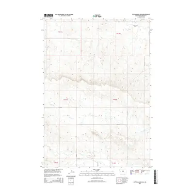
2015 Map of Cottonwood Draw
USGS Topo · Published 2015About this map
Cottonwood Draw characterizes the northern reaches of this Meade County landscape, where the drainage systems of the Black Hills foothills begin to define the prairie terrain. This contemporary survey by the U.S. Geological Survey details a network of rural routes and watercourses, including the prominent winding path of Antelope Cr as it crosses Tilford Rd. The map illustrates a shift from the more developed corridor near Elk Vale Rd to the open ranch land and section lines of the eastern plains. While the terrain is shaped by intermittent creeks like Alkali Cr and Morris Cr, the presence of named access points such as Galaxy Pl and Coyote Ln indicates the gradual subdivision and modern rural settlement patterns of the early twenty-first century.
Find a feature on this map
18 named features on this map. Tap any name to fly to it.
Don’t see what you’re looking for? This feature index may not catch every label — zoom into the map to look around manually.
Map Details
Editions of this 2015 Cottonwood Draw Map
This is the sole edition of this map. No revisions or reprints were ever made.
Other maps of this area

1893 · Rapid
USGS Topo · 1:125,000

1898 · Rapid
USGS Topo · 1:125,000

1903 · Rapid
USGS Topo · 1:125,000

1953 · Bend
USGS Topo · 1:24,000

1953 · Rapid City 1 SW
USGS Topo · 1:24,000

1953 · Rapid City 1 NW
USGS Topo · 1:24,000

1953 · Blackhawk
USGS Topo · 1:24,000

1953 · Rapid City NW
USGS Topo · 1:24,000

1953 · Rapid City 1 NE
USGS Topo · 1:24,000

1953 · Rapid City 1 SE
USGS Topo · 1:24,000