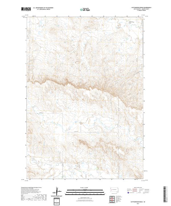
2021 Map of Cottonwood Draw
USGS Topo · Published 2021About this map
The rolling grasslands of Meade County are defined by a network of drainage channels and ranch roads in this modern topographical survey. The namesake Cottonwood Draw sits in the northeast corner, part of a watershed that includes Alkali Cr and the meandering path of Antelope Cr. This area represents the rural outskirts of the Black Hills region, where the landscape is organized by the Public Land Survey System into townships like t4n r8e and t5n r8e.
Find a feature on this map
18 named features on this map. Tap any name to fly to it.
Don’t see what you’re looking for? This feature index may not catch every label — zoom into the map to look around manually.
Map Details
Editions of this 2021 Cottonwood Draw Map
This is the sole edition of this map. No revisions or reprints were ever made.
Other maps of this area

1893 · Rapid
USGS Topo · 1:125,000

1898 · Rapid
USGS Topo · 1:125,000

1903 · Rapid
USGS Topo · 1:125,000

1953 · Bend
USGS Topo · 1:24,000

1953 · Rapid City 1 SW
USGS Topo · 1:24,000

1953 · Rapid City 1 NW
USGS Topo · 1:24,000

1953 · Blackhawk
USGS Topo · 1:24,000

1953 · Rapid City NW
USGS Topo · 1:24,000

1953 · Rapid City 1 NE
USGS Topo · 1:24,000

1953 · Rapid City 1 SE
USGS Topo · 1:24,000