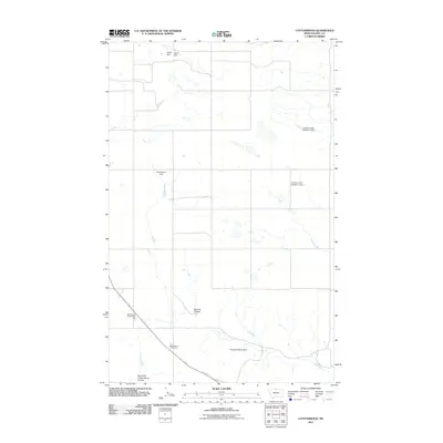
2011 Map of Cottonwood
USGS Topo · Published 2011About this map
Cottonwood Community Hall serves as a focal point for this rural pocket of Hill County, where the landscape is defined by an intricate network of coulees and small-scale water management projects. Settlers in this part of Montana utilized various water structures to support life on the high plains, as evidenced by the naming of Jupiter Dam, Venus Dam, and the evocatively named Rusty Bandalero Dam.
Find a feature on this map
10 named features on this map. Tap any name to fly to it.
Don’t see what you’re looking for? This feature index may not catch every label — zoom into the map to look around manually.
Map Details
Editions of this 2011 Cottonwood Map
This is the sole edition of this map. No revisions or reprints were ever made.
Other maps of this area

1904 · Assinniboine
USGS Topo · 1:62,500

1906 · Kremlin
USGS Topo · 1:62,500

1912 · Thibedeau Lake
USGS Topo · 1:125,000

1920 · Gildford
USGS Topo · 1:125,000

1943 · Gildford
USGS Topo · 1:125,000

1953 · Havre
USGS Topo · 1:250,000

1954 · Shelby
USGS Topo · 1:250,000

1957 · Havre
USGS Topo · 1:250,000

1958 · Shelby
USGS Topo · 1:250,000

1958 · Havre
USGS Topo · 1:250,000