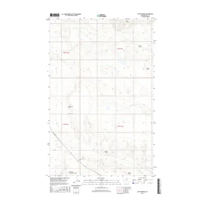
2017 Map of Cottonwood
USGS Topo · Published 2017About this map
Cottonwood Cem stands as a central historical marker in this portion of Hill County, Montana, situated near the intersection of several township boundaries including t35n r13e and t35n r14e. The landscape is defined by an intricate network of drainage features, primarily coulees that carve through the high plains. Major natural landmarks include Cottonwood Coulee and its East Fork, alongside other significant breaks like Redrock Coulee and Willow Coulee.
Find a feature on this map
15 named features on this map. Tap any name to fly to it.
Don’t see what you’re looking for? This feature index may not catch every label — zoom into the map to look around manually.
Map Details
Editions of this 2017 Cottonwood Map
This is the sole edition of this map. No revisions or reprints were ever made.
Other maps of this area

1904 · Assinniboine
USGS Topo · 1:62,500

1906 · Kremlin
USGS Topo · 1:62,500

1912 · Thibedeau Lake
USGS Topo · 1:125,000

1920 · Gildford
USGS Topo · 1:125,000

1943 · Gildford
USGS Topo · 1:125,000

1953 · Havre
USGS Topo · 1:250,000

1954 · Shelby
USGS Topo · 1:250,000

1957 · Havre
USGS Topo · 1:250,000

1958 · Shelby
USGS Topo · 1:250,000

1958 · Havre
USGS Topo · 1:250,000