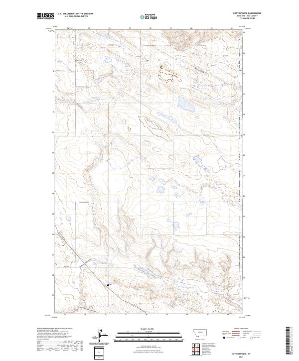
2024 Map of Cottonwood
USGS Topo · Published 2024About this map
The high plains of Hill County are defined by a network of drainage channels including Willow Coulee and Redrock Coulee. In this rural expanse, the Cottonwood Cem stands as a significant point of interest for genealogists and local historians, situated near the intersection of several local routes. The landscape is navigated via a handful of designated paths like Cottonwood Rd and the Wild Horse Trl, which follow the natural contours of the land around Cottonwood Coulee and its East Fork. The map provides a contemporary record of land divisions across several townships, including t36n r14e and t35n r13e, where the interplay of seasonal waterways and local roads shapes the footprint of modern agriculture and historical land use.
Find a feature on this map
12 named features on this map. Tap any name to fly to it.
Don’t see what you’re looking for? This feature index may not catch every label — zoom into the map to look around manually.
Map Details
Editions of this 2024 Cottonwood Map
This is the sole edition of this map. No revisions or reprints were ever made.
Other maps of this area

1904 · Assinniboine
USGS Topo · 1:62,500

1906 · Kremlin
USGS Topo · 1:62,500

1912 · Thibedeau Lake
USGS Topo · 1:125,000

1920 · Gildford
USGS Topo · 1:125,000

1943 · Gildford
USGS Topo · 1:125,000

1953 · Havre
USGS Topo · 1:250,000

1954 · Shelby
USGS Topo · 1:250,000

1957 · Havre
USGS Topo · 1:250,000

1958 · Shelby
USGS Topo · 1:250,000

1958 · Havre
USGS Topo · 1:250,000