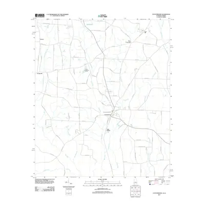
2011 Map of Cottonwood
USGS Topo · Published 2011About this map
Cottonwood serves as the primary hub of this corner of Houston County, marked by its central Cottonwood Post Office and a network of secondary roads that link the surrounding agricultural landscape. The terrain is defined by a dense web of waterways, including the winding Buck Creek, Boggy Creek, and the expansive Gum Slough to the east. These drainages influence the local road patterns, which often follow the ridges between creek beds or terminate at crossings like Terry Crossroads.
Find a feature on this map
91 named features on this map. Tap any name to fly to it.
Don’t see what you’re looking for? This feature index may not catch every label — zoom into the map to look around manually.
Map Details
Editions of this 2011 Cottonwood Map
This is the sole edition of this map. No revisions or reprints were ever made.
Other maps of this area

1952 · Malone
USGS Topo · 1:24,000

1952 · Campbellton
USGS Topo · 1:24,000

1952 · Sills
USGS Topo · 1:24,000

1953 · Dothan
USGS Topo · 1:250,000

1954 · Dothan
USGS Topo · 1:250,000

1954 · Tallahassee
USGS Topo · 1:250,000

1955 · Dothan
USGS Topo · 1:250,000

1959 · Tallahassee
USGS Topo · 1:250,000

1960 · Tallahassee
USGS Topo · 1:250,000

1969 · Dothan East
USGS Topo · 1:24,000