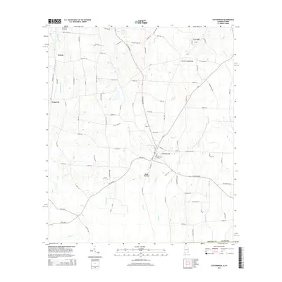
2014 Map of Cottonwood
USGS Topo · Published 2014About this map
Cottonwood serves as the central hub of this agricultural landscape in southeastern Alabama, where the grid of rural life is defined by family-named roads and winding watercourses. The town sits at a strategic junction near Sealy Springs, with a network of transit lines including Cottonwood Rd and CR-55 connecting disparate rural communities. The terrain is marked by numerous drainage systems, most notably Boggy Cr and the expansive Gum Slough to the east, which dictate the placement of farms and timber tracts.
Find a feature on this map
89 named features on this map. Tap any name to fly to it.
Don’t see what you’re looking for? This feature index may not catch every label — zoom into the map to look around manually.
Map Details
Editions of this 2014 Cottonwood Map
This is the sole edition of this map. No revisions or reprints were ever made.
Other maps of this area

1952 · Malone
USGS Topo · 1:24,000

1952 · Campbellton
USGS Topo · 1:24,000

1952 · Sills
USGS Topo · 1:24,000

1953 · Dothan
USGS Topo · 1:250,000

1954 · Dothan
USGS Topo · 1:250,000

1954 · Tallahassee
USGS Topo · 1:250,000

1955 · Dothan
USGS Topo · 1:250,000

1959 · Tallahassee
USGS Topo · 1:250,000

1960 · Tallahassee
USGS Topo · 1:250,000

1969 · Dothan East
USGS Topo · 1:24,000