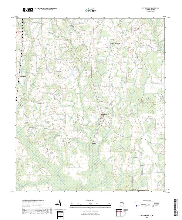
2024 Map of Cottonwood
USGS Topo · Published 2024About this map
Cottonwood serves as the primary hub in this southern Houston County landscape, where the agricultural patterns of Alabama meet the Florida state line. The terrain is defined by a dense network of slow-moving waterways and wetland features such as Pittman Bay and Gum Slough, which weave between established farming communities. Local history is anchored at sites like Terry Crossroads and Sealy Springs, while higher elevations such as Love Hill and Trapper Ridge break the low-lying drainage basins of Buck Creek and Double Bridges Creek.
Find a feature on this map
103 named features on this map. Tap any name to fly to it.
Don’t see what you’re looking for? This feature index may not catch every label — zoom into the map to look around manually.
Map Details
Editions of this 2024 Cottonwood Map
This is the sole edition of this map. No revisions or reprints were ever made.
Other maps of this area

1952 · Malone
USGS Topo · 1:24,000

1952 · Campbellton
USGS Topo · 1:24,000

1952 · Sills
USGS Topo · 1:24,000

1953 · Dothan
USGS Topo · 1:250,000

1954 · Dothan
USGS Topo · 1:250,000

1954 · Tallahassee
USGS Topo · 1:250,000

1955 · Dothan
USGS Topo · 1:250,000

1959 · Tallahassee
USGS Topo · 1:250,000

1960 · Tallahassee
USGS Topo · 1:250,000

1969 · Dothan East
USGS Topo · 1:24,000