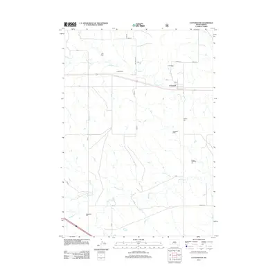
2012 Map of Cottonwood
USGS Topo · Published 2012About this map
Cottonwood is situated at the junction of several local routes, including CH 8 and CH 10, serving as a central point in this Jackson County landscape. The topography is defined by significant drainage systems such as Cottonwood Cr and Whitewater Cr, which carve through the plains. Distinctive landforms like Ackerman Hill, Walker Hill, and Hinton-Coleman Hill rise above the surrounding terrain, providing natural landmarks for the region.
Find a feature on this map
25 named features on this map. Tap any name to fly to it.
Don’t see what you’re looking for? This feature index may not catch every label — zoom into the map to look around manually.
Map Details
Editions of this 2012 Cottonwood Map
This is the sole edition of this map. No revisions or reprints were ever made.
Other maps of this area

1953 · Rapid City
USGS Topo · 1:250,000

1954 · Pierre
USGS Topo · 1:250,000

1955 · Hot Springs
USGS Topo · 1:250,000

1955 · Martin
USGS Topo · 1:250,000

1957 · Rapid City
USGS Topo · 1:250,000

1958 · Pierre
USGS Topo · 1:250,000

1958 · Martin
USGS Topo · 1:250,000

1960 · Wall SE
USGS Topo · 1:24,000

1960 · Cottonwood SW
USGS Topo · 1:24,000

1961 · Cottonwood
USGS Topo · 1:24,000