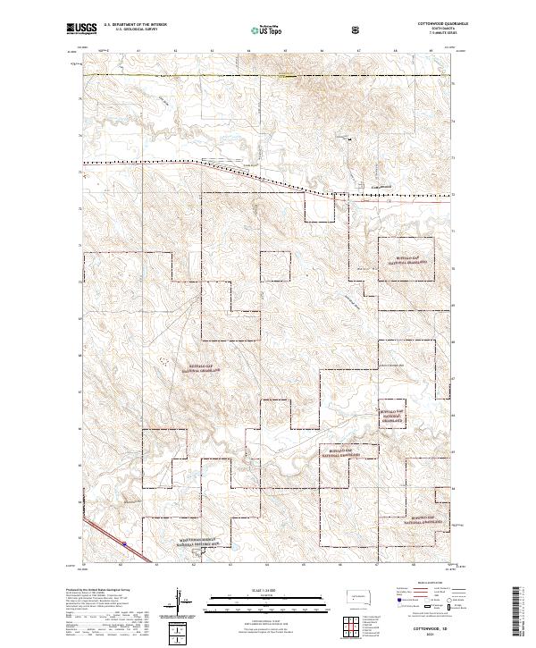
2021 Map of Cottonwood
USGS Topo · Published 2021About this map
Cottonwood is situated at the edge of the Buffalo Gap National Grassland, where the prairie topography is defined by the drainages of Cottonwood Cr and Whitewater Cr. This landscape is characterized by its strategic positioning within Jackson County, marked by local heights such as Walker Hill and Hinton-Coleman Hill. The map reflects a modern western interior, where the small settlement at Cottonwood is flanked by aviation infrastructure at Cooks Airport and the preserved military legacy of the Minuteman Missile National Historic Site. Local history is anchored at the Cottonwood Cem, while the surrounding sections are bisected by numerous rural routes like Grindstone Rd and 210th Ave. These features illustrate the quiet but persistent human presence in a territory largely dedicated to public grassland and historical preservation.
Find a feature on this map
29 named features on this map. Tap any name to fly to it.
Don’t see what you’re looking for? This feature index may not catch every label — zoom into the map to look around manually.
Map Details
Editions of this 2021 Cottonwood Map
This is the sole edition of this map. No revisions or reprints were ever made.
Other maps of this area

1953 · Rapid City
USGS Topo · 1:250,000

1954 · Pierre
USGS Topo · 1:250,000

1955 · Hot Springs
USGS Topo · 1:250,000

1955 · Martin
USGS Topo · 1:250,000

1957 · Rapid City
USGS Topo · 1:250,000

1958 · Pierre
USGS Topo · 1:250,000

1958 · Martin
USGS Topo · 1:250,000

1960 · Wall SE
USGS Topo · 1:24,000

1960 · Cottonwood SW
USGS Topo · 1:24,000

1961 · Cottonwood
USGS Topo · 1:24,000