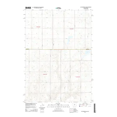
2015 Map of Cottonwood Lake
USGS Topo · Published 2015About this map
New Zion Cem serves as a lone landmark in this section of the Great Plains, located near the intersection of 368th Ave and 220th St. The landscape is defined by the boundary between Hand Co and Jerauld Co, where the prairie is punctuated by scattered wetlands and the waters of Cottonwood Lake. A network of section-line roads, such as 217th St and 371st Ave, creates a rigid grid across the undulating terrain. To the northwest, Sand Cr drains through the rolling hills of Township 109 North. This modern survey captures the enduring rural character of central South Dakota, where large-scale agriculture and natural basins shape the local geography and land use patterns.
Find a feature on this map
22 named features on this map. Tap any name to fly to it.
Don’t see what you’re looking for? This feature index may not catch every label — zoom into the map to look around manually.
Map Details
Editions of this 2015 Cottonwood Lake Map
This is the sole edition of this map. No revisions or reprints were ever made.
Other maps of this area

1949 · Vayland SE
USGS Topo · 1:24,000

1949 · Vayland SW
USGS Topo · 1:24,000

1951 · Vayland SW
USGS Topo · 1:24,000

1951 · Wessington SW
USGS Topo · 1:24,000

1951 · Vayland SE
USGS Topo · 1:24,000

1953 · Huron
USGS Topo · 1:250,000

1954 · Huron
USGS Topo · 1:250,000

1973 · Gannvalley
USGS Topo · 1:24,000

1973 · Cottonwood Lake
USGS Topo · 1:24,000

1973 · Wessington Springs NW
USGS Topo · 1:24,000