
1951 Map of Wessington SW
USGS Topo · Published 1951About this map
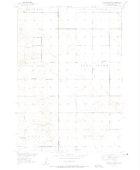
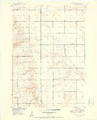
The Hand Co Beadle Co boundary line bisects this agricultural landscape as it appeared in the mid-century, defined by a network of rural school districts and township divisions. Local education is anchored by several named institutions, including McNeil Sch, Sand Creek Sch, and McGillvery Sch, which serve the surrounding farming families. To the south, Domsch Sch and Watson Sch further illustrate the high density of small-scale schoolhouses that once dotted the plains. The terrain transitions through named townships such as Rose Hill and Sand Creek, while the hydrology is dominated by the meandering paths of Sand Creek and Silver Creek. Evidence of early settlement is found in the scattered farmsteads and a solitary Cem marking the quiet corners of Wessington and Burroak.
Find a feature on this map
15 named features on this map. Tap any name to fly to it.
Don’t see what you’re looking for? This feature index may not catch every label — zoom into the map to look around manually.
Map Details
Editions of this 1951 Wessington SW Map
3 editions found
Other maps of this area

1949 · Vayland SE
USGS Topo · 1:24,000

1950 · Vayland
USGS Topo · 1:24,000

1950 · Wessington
USGS Topo · 1:24,000

1950 · Wessington NE
USGS Topo · 1:24,000

1951 · Wessington SE
USGS Topo · 1:24,000

1951 · Vayland SE
USGS Topo · 1:24,000

1953 · Huron
USGS Topo · 1:250,000

1954 · Huron
USGS Topo · 1:250,000

1973 · Wessington Springs NE
USGS Topo · 1:24,000

1973 · Cottonwood Lake
USGS Topo · 1:24,000