
1951 Map of Wessington SE
USGS Topo · Published 1951About this map
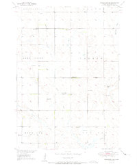
Silver Creek and Sand Creek meander through a series of rural townships in Beadle County, defining the drainage patterns of this prairie landscape during the early 1950s. The map captures a distributed network of small country schoolhouses, including Roosevelt Sch, McBride Sch, Curtis Sch, and Bolte Sch, which served as the social and educational anchors for the surrounding farmsteads. This period shows the transition of the South Dakota plains under the Missouri River Basin development program, as indicated in the margin.
Find a feature on this map
16 named features on this map. Tap any name to fly to it.
Don’t see what you’re looking for? This feature index may not catch every label — zoom into the map to look around manually.
Map Details
Editions of this 1951 Wessington SE Map
3 editions found
Other maps of this area

1898 · Huron
USGS Topo · 1:125,000

1950 · Wessington
USGS Topo · 1:24,000

1950 · Wessington NE
USGS Topo · 1:24,000

1951 · Wessington SW
USGS Topo · 1:24,000

1953 · Huron
USGS Topo · 1:250,000

1954 · Huron
USGS Topo · 1:250,000
1973 · Wolsey
USGS Topo · 1:24,000

1973 · Wessington Springs NE
USGS Topo · 1:24,000

1973 · Wessington Springs NW
USGS Topo · 1:24,000
1973 · Virgil
USGS Topo · 1:24,000