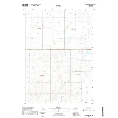
2017 Map of Cottonwood Lake
USGS Topo · Published 2017About this map
New Zion Cem stands as a focal point of this agricultural landscape along the shared border of Hand and Jerauld counties. This 2017 survey reveals the persistent grid of the rural township system, where gravel roads like 368th Ave and Co Rd 8 define a network of section lines typical of the Dakotas. The terrain is characterized by numerous small prairie potholes and wetlands, with Cottonwood Lake and the winding course of Sand Cr serving as the primary drainage features. These natural depressions and seasonal water bodies dictate the placement of local homesteads and farmsteads, many of which are connected by secondary routes such as 370th Ave and 220th St. The map provides a precise record of late-twentieth and early-twenty-first-century rural land use, documenting the enduring boundaries of t109n r67w and t109n r66w.
Find a feature on this map
23 named features on this map. Tap any name to fly to it.
Don’t see what you’re looking for? This feature index may not catch every label — zoom into the map to look around manually.
Map Details
Editions of this 2017 Cottonwood Lake Map
This is the sole edition of this map. No revisions or reprints were ever made.
Other maps of this area

1949 · Vayland SE
USGS Topo · 1:24,000

1949 · Vayland SW
USGS Topo · 1:24,000

1951 · Vayland SW
USGS Topo · 1:24,000

1951 · Wessington SW
USGS Topo · 1:24,000

1951 · Vayland SE
USGS Topo · 1:24,000

1953 · Huron
USGS Topo · 1:250,000

1954 · Huron
USGS Topo · 1:250,000

1973 · Gannvalley
USGS Topo · 1:24,000

1973 · Cottonwood Lake
USGS Topo · 1:24,000

1973 · Wessington Springs NW
USGS Topo · 1:24,000