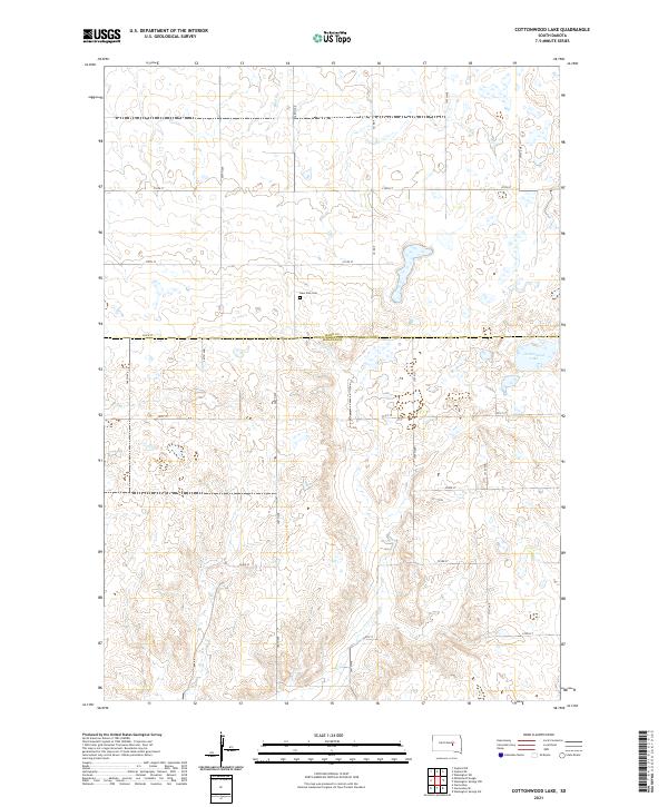
2021 Map of Cottonwood Lake
USGS Topo · Published 2021About this map
Cottonwood Lake and the rolling prairie of the Missouri Plateau define this landscape along the boundary of Hand County and Jerauld County. This region of South Dakota is characterized by a high density of prairie potholes and small depressions, creating a complex wetland network that drains toward Sand Creek. The map documents a sparsely populated agricultural area, where the section-line road grid—including 367th Ave and 220th St—dictates the movement of people and commerce across the rural townships. Near the center of the sheet, the New Zion Cem stands as a quiet marker of the early families who settled these uplands. The terrain's subtle relief, marked by numerous small basins and drainage ways, illustrates the typical glacial topography of the James River Highlands, where water management and road placement are inextricably linked to the natural contours of the land.
Find a feature on this map
22 named features on this map. Tap any name to fly to it.
Don’t see what you’re looking for? This feature index may not catch every label — zoom into the map to look around manually.
Map Details
Editions of this 2021 Cottonwood Lake Map
This is the sole edition of this map. No revisions or reprints were ever made.
Other maps of this area

1949 · Vayland SE
USGS Topo · 1:24,000

1949 · Vayland SW
USGS Topo · 1:24,000

1951 · Vayland SW
USGS Topo · 1:24,000

1951 · Wessington SW
USGS Topo · 1:24,000

1951 · Vayland SE
USGS Topo · 1:24,000

1953 · Huron
USGS Topo · 1:250,000

1954 · Huron
USGS Topo · 1:250,000

1973 · Gannvalley
USGS Topo · 1:24,000

1973 · Cottonwood Lake
USGS Topo · 1:24,000

1973 · Wessington Springs NW
USGS Topo · 1:24,000