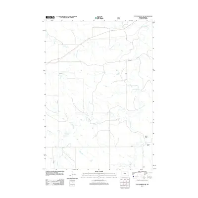
2012 Map of Cottonwood NE
USGS Topo · Published 2012About this map
S Fork Bad River and its numerous tributaries dominate this prairie landscape in western South Dakota, illustrating the intricate drainage patterns of the Great Plains. The map reveals a network of watercourses including Little Buffalo Cr, Cottonwood Cr, and Lone Tree Cr, which carve through the terrain and define the local topography. Human presence is represented by a grid of rural routes such as Co RD S 5 and Co Road S 28, alongside the path of Highway 14 as it traverses the northern portion of the quadrangle. The inclusion of named features like Dugout Draw and Yellow Draw provides specific landmarks for those tracing the hydrography and land use of the region during this era. This survey serves as a record of the natural watershed before it joins larger systems to the east.
Find a feature on this map
15 named features on this map. Tap any name to fly to it.
Don’t see what you’re looking for? This feature index may not catch every label — zoom into the map to look around manually.
Map Details
Editions of this 2012 Cottonwood NE Map
This is the sole edition of this map. No revisions or reprints were ever made.
Other maps of this area

1950 · Weta
USGS Topo · 1:24,000

1953 · Philip Junction
USGS Topo · 1:24,000

1953 · Philip
USGS Topo · 1:24,000

1954 · Pierre
USGS Topo · 1:250,000

1955 · Martin
USGS Topo · 1:250,000

1958 · Pierre
USGS Topo · 1:250,000

1958 · Martin
USGS Topo · 1:250,000

1960 · Cottonwood SW
USGS Topo · 1:24,000

1961 · Cottonwood
USGS Topo · 1:24,000

1961 · Cottonwood NE
USGS Topo · 1:24,000