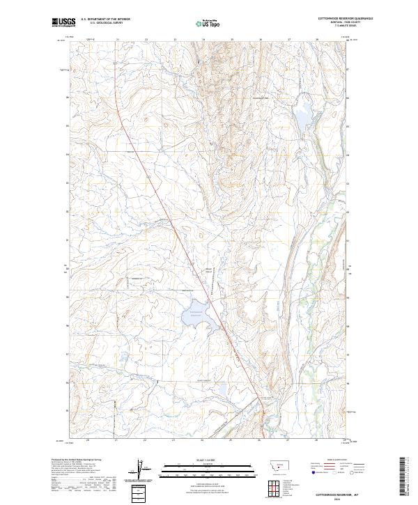
2024 Map of Cottonwood Reservoir
USGS Topo · Published 2024About this map
Cottonwood Reservoir lies at the heart of this Park County landscape, surrounded by an intricate network of irrigation and natural waterways that speak to the region's agricultural foundations. The Shields River and Flathead Creek converge in the southern portion of the quadrangle, carving through Shields Canyon near the junction of Flathead Creek Rd and Shields River Rd. To the north, the Kavanaugh Hills rise above the valley floor, overlooking the Big Canal and the many branches of Antelope Creek.
Find a feature on this map
35 named features on this map. Tap any name to fly to it.
Don’t see what you’re looking for? This feature index may not catch every label — zoom into the map to look around manually.
Map Details
Editions of this 2024 Cottonwood Reservoir Map
This is the sole edition of this map. No revisions or reprints were ever made.
Other maps of this area

1886 · Little Belt Mts.
USGS Topo · 1:250,000

1891 · Livingston
USGS Topo · 1:250,000

1893 · Livingston
USGS Topo · 1:250,000

1894 · Little Belt Mts.
USGS Topo · 1:250,000

1897 · Little Belt Mts.
USGS Topo · 1:250,000

1898 · Little Belt Mts.
USGS Topo · 1:250,000

1902 · Little Belt Mts.
USGS Topo · 1:250,000

1947 · Bozeman
USGS Topo · 1:250,000

1948 · Bozeman
USGS Topo · 1:250,000

1948 · White Sulphur Springs
USGS Topo · 1:250,000