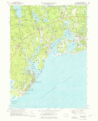
1974 Map of Cotuit
USGS Topo · Published 1976About this map
The coastal landscapes of Mashpee and Barnstable define this mid-1970s survey of Cape Cod's southern shore. The intricate network of bays, including Cotuit Bay, North Bay, and Popponesset Bay, reveals a landscape deeply connected to the water, where Popponesset Island and Osterville Grand Island sit behind protective barrier beaches like Popponesset Beach. Inland, the proliferation of Cranberry Bogs near Marstons Mills and Santuit points to the region's agricultural heritage, while settlements such as Osterville and Wianno show the established residential character of the era. Cultural and communal landmarks are well-documented, from the Old Indian Ch and St Judes Chapel to the 4-H Club Camp on Mashpee Pond. Notable geographic details include the distinct necks of land like Crocker Neck and Mashpee Neck that separate the various coves and rivers, such as the Santuit River and Quashnet River, providing a clear picture of the region's complex shoreline before further modern development.
Find a feature on this map
155 named features on this map. Tap any name to fly to it.
Don’t see what you’re looking for? This feature index may not catch every label — zoom into the map to look around manually.
Map Details
Editions of this 1974 Cotuit Map
4 editions found
Other maps of this area

1886 · Falmouth
USGS Topo · 1:62,500

1888 · Barnstable
USGS Topo · 1:62,500

1888 · Falmouth
USGS Topo · 1:62,500

1893 · Barnstable
USGS Topo · 1:62,500

1893 · Falmouth
USGS Topo · 1:62,500

1915 · Falmouth
USGS Topo · 1:62,500

1920 · Falmouth
USGS Topo · 1:62,500
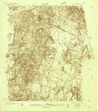
1935 · Pocasset
USGS Topo · 1:20,000
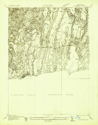
1936 · Falmouth
USGS Topo · 1:25,000

1938 · Sandwich
USGS Topo · 1:31,680