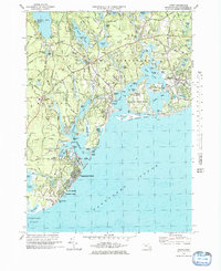
1974 Map of Cotuit
USGS Topo · Published 1985About this map
Marstons Mills and Cotuit anchor this detailed coastal landscape where the town boundaries of Mashpee and Barnstable meet. The 1970s terrain is characterized by a dense network of freshwater ponds such as Mashpee Pond and Santuit Pond, interspersed with numerous Cranberry Bogs that speak to the region's agricultural heritage. Along the shoreline, the map documents the developed vacation and residential communities of Popponesset Beach and Wianno, alongside the protected reaches of Sampsons Island and Dead Neck Beach.
Find a feature on this map
143 named features on this map. Tap any name to fly to it.
Don’t see what you’re looking for? This feature index may not catch every label — zoom into the map to look around manually.
Map Details
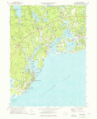
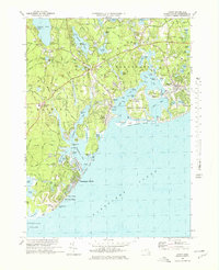
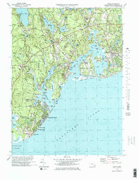
Editions of this 1974 Cotuit Map
4 editions found
Other maps of this area

1886 · Falmouth
USGS Topo · 1:62,500

1888 · Barnstable
USGS Topo · 1:62,500

1888 · Falmouth
USGS Topo · 1:62,500

1893 · Barnstable
USGS Topo · 1:62,500

1893 · Falmouth
USGS Topo · 1:62,500

1915 · Falmouth
USGS Topo · 1:62,500

1920 · Falmouth
USGS Topo · 1:62,500
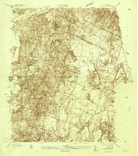
1935 · Pocasset
USGS Topo · 1:20,000
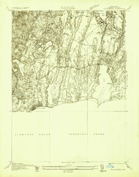
1936 · Falmouth
USGS Topo · 1:25,000

1938 · Sandwich
USGS Topo · 1:31,680